Description
Cadastral Unit Boundaries of Estonia – Map Layer for Drone Controllers
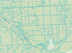
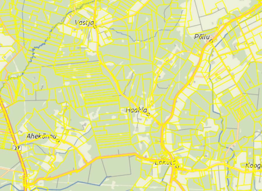
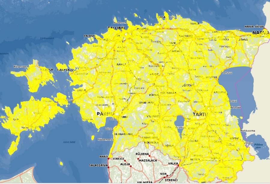
Cadastral Unit Boundaries of Estonia for controllers running the DJI Pilot 2 app. The layer is based on cadastral data from the Estonian Land and Spatial Development Board and is displayed on top of the base map, allowing you to see property boundaries while flying the drone. The layer works offline.
Suitable for real estate photography, agricultural and forestry work, construction site inspections, and surveying your own property.
Please note! The layer contains only cadastral parcel boundaries. It does not include cadastral identifiers or a base map. If your controller does not yet have a map of Estonia, we recommend purchasing the Regio Estonia Base Map as well.
Important information
- Downloadable map layers are non-refundable.
- Compatibility: DJI RC Plus, RC Pro Enterprise, and other controllers running the DJI Pilot 2 app.
Not compatible with drones using the DJI Fly app. - Map file size: 5.2 GB