Description
Regio Estonia Base Map – Map for Drone Controllers
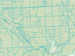
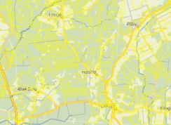
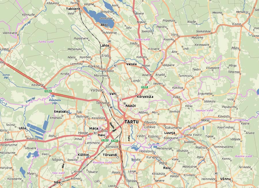
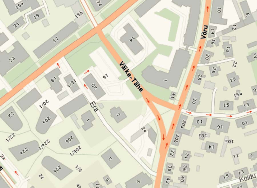
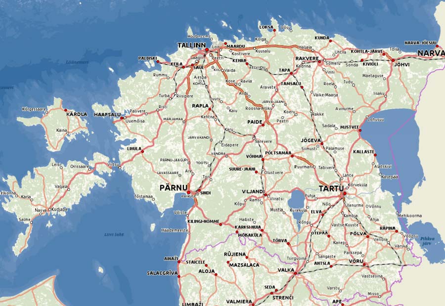
The map covers the entire territory of Estonia and includes roads, settlements, place names, addresses, buildings, and land cover. It works offline, making it reliable even in forests, bogs, and on islands where there is no mobile network coverage. Suitable for search and rescue operations, surveying, agricultural and forestry work, and site inspections.
Please note!
- Downloadable map layers are non-refundable.
- Compatibility: DJI RC Plus, RC Pro Enterprise, and other controllers running the DJI Pilot 2 app.
Not compatible with drones using the DJI Fly app. - Map file size: 10.5 GB